Introduction to Geodesy in Physics
Geodesy is a field of study within physics that focuses on the measurement and representation of the Earth’s shape, gravity field, and its various geodynamic processes. It is an interdisciplinary science that combines elements of mathematics, physics, and geophysics to accurately measure and understand the Earth’s dimensions, orientation, and gravitational force.
The primary goal of geodesy is to determine the Earth’s size and shape, as well as its variations over time, to provide a comprehensive representation of the planet’s geodynamic processes. This involves measuring parameters such as the Earth’s radius, latitude, longitude, and elevation. Geodesists also study the variations in these parameters caused by factors like tectonic plate movements, volcanic activity, and changes in the Earth’s mass distribution.
To achieve these measurements, geodesists employ a variety of advanced techniques and instruments. These include satellite-based systems like the Global Positioning System (GPS), which allows for precise positioning and tracking of points on the Earth’s surface. Other techniques used in geodesy include gravimetry, which measures variations in the Earth’s gravity field, as well as satellite altimetry, which measures the height of the Earth’s surface above mean sea level.
Geodesy plays a crucial role in various scientific and practical applications. It is essential for accurate mapping, surveying, and cartography, allowing for the creation of precise and detailed maps of the Earth’s surface. It is also used in navigation systems, such as GPS, which are widely used in transportation, aviation, and marine industries. Geodesy is also important in understanding and predicting phenomena like sea-level rise, crustal movements, and the Earth’s rotational variations.
In summary, geodesy is a branch of physics that focuses on the measurement and representation of the Earth’s shape, gravity field, and geodynamic processes. It plays a crucial role in accurately understanding and representing the Earth’s dimensions and variations, with applications ranging from mapping and navigation to understanding global changes and dynamics.
Definition and Scope of Geodesy
Geodesy is the scientific discipline that deals with the measurement and understanding of the Earth’s shape, gravity field, and orientation in space, as well as the changes they undergo over time. It is a branch of geophysics that combines elements of mathematics, physics, and geophysics to study the Earth’s structure, shape, and motion.
The scope of geodesy encompasses various scientific and practical applications. These include:
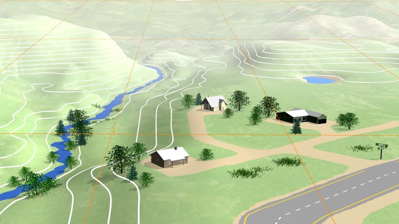
1. Geodetic surveys: Geodesy involves the accurate measurement and determination of the Earth’s surface features, such as land areas, coastlines, and topographical details. These surveys help create maps, charts, and models of the Earth’s surface.
2. Reference frames and coordinate systems: Geodesy establishes reference frames and coordinate systems that provide a consistent and accurate framework for locating points on the Earth’s surface. These systems are used in navigation, surveying, and other applications that require precise positioning.
3. Determination of Earth’s shape: Geodesy aims to determine the Earth’s shape and size, including its variations due to factors like gravity and tectonic processes. This information is crucial for understanding the Earth’s geophysical phenomena, as well as for accurate mapping and surveying.
4. Gravity field determination: Geodesy studies the Earth’s gravity field, which is not constant but varies due to irregularities in the Earth’s mass distribution. Gravity data helps in understanding phenomena like tides, ocean currents, and the Earth’s interior structure. It is also used in satellite positioning systems like GPS.
5. Earth’s rotation and orientation: Geodesy investigates the Earth’s rotation and orientation in space, including its variations over time. This information is vital for applications such as satellite navigation, astronomy, and understanding climate change.
6. Geodynamic studies: Geodesy plays a crucial role in studying the Earth’s dynamic processes, such as plate tectonics, earthquakes, and volcanic activity. It provides valuable data for monitoring and predicting these phenomena, aiding in disaster management and hazard assessment.
7. Global positioning systems (GPS): Geodesy is instrumental in developing and utilizing satellite-based positioning systems like GPS, which have revolutionized navigation, surveying, and geolocation applications worldwide.
In summary, geodesy encompasses the measurement and understanding of the Earth’s shape, gravity field, and orientation in space. Its applications range from mapping and surveying to studying dynamic Earth processes and enabling precise positioning systems.
Geodesy Methods and Techniques
Geodesy is the science of accurately measuring and understanding the shape, orientation, and gravitational field of the Earth. It involves various methods and techniques to collect data and analyze it for geodetic applications. Here are some of the commonly used methods and techniques in geodesy:
1. Global Navigation Satellite Systems (GNSS): GNSS is the most widely used technique in geodesy. It utilizes a network of satellites, such as the GPS (Global Positioning System), GLONASS, and Galileo, to accurately determine positions on Earth’s surface. GNSS receivers collect signals from these satellites and calculate precise coordinates.
2. Terrestrial Surveying: Terrestrial surveying involves the use of surveying instruments, such as total stations and levels, to measure distances, angles, and heights on the Earth’s surface. This method is commonly used for creating accurate topographic maps, establishing control networks, and monitoring deformation.
3. Gravity Measurements: Geodesists use gravity measurements to study the Earth’s gravitational field. Instruments like gravimeters help in determining the local variations in gravity, which can be used to model the Earth’s geoid (a representation of the Earth’s shape).
4. Satellite Geodesy: Satellite geodesy involves using satellites to collect data about the Earth’s shape and gravitational field. Techniques like satellite altimetry and satellite laser ranging (SLR) are used to measure sea surface heights and accurately determine the distances between satellites and ground stations.
5. InSAR (Interferometric Synthetic Aperture Radar): InSAR is a remote sensing technique used to measure ground deformations caused by various geophysical processes. It utilizes two or more synthetic aperture radar images acquired from slightly different positions to create an interferogram, which shows the changes in surface height.
6. Photogrammetry: Photogrammetry uses aerial or satellite imagery to reconstruct 3D models of the Earth’s surface. By utilizing image processing and measurement techniques, photogrammetry can provide accurate measurements of terrain features and analyze surface changes over time.
7. Time-Variable Gravity Measurements: Techniques such as satellite gravimetry and ground-based superconducting gravimeters are used to measure and monitor temporal changes in Earth’s gravity field. These measurements can help in studying the movement and redistribution of mass within the Earth’s system.
These methods and techniques in geodesy help in various applications, including mapping and charting, land surveying, GPS navigation, seismic monitoring, satellite positioning, and studying Earth’s environmental changes.
Applications of Geodesy in Physics
Geodesy is a scientific discipline that deals with the measurement and study of Earth’s shape, gravity field, and the movement of Earth’s tectonic plates. While geodesy has many applications in various fields, including engineering, navigation, and surveying, it also finds important applications in physics itself. Here are some applications of geodesy in physics:
1. Determination of the gravitational field: Geodesy plays a key role in measuring and studying the Earth’s gravitational field, including the gravitational potential and its spatial variations. This information is crucial for understanding various phenomena in physics, such as the dynamics of celestial bodies, the behavior of particles in gravitational fields, and the phenomenon of gravity itself.
2. Testing theories of gravitation: Geodesy provides valuable data for testing different theories of gravitation, including Einstein’s theory of general relativity. By accurately measuring the Earth’s gravitational field and comparing it with theoretical predictions, geodesists contribute to the understanding and refinement of gravitational theories.
3. Studying the Earth’s rotation: Geodesy enables precise measurements of Earth’s rotation parameters, such as the rotation rate, axis tilt, and variations in rotation. These measurements are essential for studying phenomena like the precession and nutation of Earth’s rotation axis, which have implications for celestial mechanics and the behavior of astronomical objects.
4. Earth’s crustal deformation: By studying the movement and deformation of Earth’s crust, geodesy contributes to our understanding of plate tectonics, earthquakes, and the dynamics of Earth’s crust. This information is important for seismology, geophysics, and studying the behavior of natural hazards.
5. Determining the reference frame for space missions: Geodesy provides the basis for determining a stable and accurate reference frame for space missions. This is essential for precise positioning, navigation, and tracking of artificial satellites, including global navigation satellite systems like GPS and GNSS.
6. Relativistic effects in geodesy: Geodesy takes into account relativistic effects, such as time dilation and gravitational redshift, in the measurements and calculations. Understanding and accounting for these effects are necessary for achieving high accuracy in geodetic measurements and ensuring consistency with the principles of physics.
Overall, geodesy plays a crucial role in physics by providing precise measurements and understanding of Earth’s shape, gravity field, and movements. These measurements have implications for various fields of physics, including celestial mechanics, gravitation, and Earth sciences.
Conclusion and Future Directions
In conclusion, geodesy is a field that plays a crucial role in understanding and mapping the Earth’s shape, gravitational field, and rotation. It has applications in various sectors such as navigation, surveying, geophysics, and climate studies.
Over the years, geodesy has advanced significantly with the development of new technologies and techniques. Satellite-based positioning systems like GPS have revolutionized geodetic measurements, enabling accurate and precise positioning on a global scale. Additionally, advancements in remote sensing technologies have provided valuable information about the Earth’s surface and atmosphere.
Looking towards the future, geodesy will continue to evolve and innovate. One direction is the integration of geodetic measurements with other Earth observation techniques, such as radar and lidar, to obtain a more comprehensive understanding of the Earth’s dynamics and processes. This integration will improve our ability to monitor and predict natural hazards such as earthquakes, volcanic eruptions, and sea level rise.
Another future direction for geodesy is the development of improved geodetic reference systems. As the Earth’s dynamic nature becomes increasingly evident, there is a need for reference systems that account for the changing Earth parameters. This will involve the utilization of geodetic techniques to measure variations in parameters such as the Earth’s shape, gravity field, and rotation.
Furthermore, geodesy will play an essential role in addressing global challenges such as climate change and sustainable development. The precise monitoring of land surface changes, sea level rise, and ice sheet dynamics will provide crucial data for understanding these complex issues and developing effective strategies for mitigation and adaptation.
Overall, the future of geodesy is bright, with exciting possibilities for further advancements and applications. By continuing to innovate and integrate with other disciplines, geodesy will continue to contribute to our understanding of the Earth and provide valuable information for a wide range of societal needs.
Topics related to Geodesy
Geodesy, a foundation for Earth Sciences and Earth Observation Systems – YouTube

Geodesy, a foundation for Earth Sciences and Earth Observation Systems – YouTube
Sphere Earth Conspiracy – Geodesy – YouTube

Sphere Earth Conspiracy – Geodesy – YouTube
GEOL450 Geodesy – YouTube

GEOL450 Geodesy – YouTube
(EN) Terrestrial Reference Frames – Connecting the World through Geodesy – YouTube

(EN) Terrestrial Reference Frames – Connecting the World through Geodesy – YouTube
Reference Systems and Frames | Topic 2 GE 114 Satellite Geodesy Part 1 – YouTube

Reference Systems and Frames | Topic 2 GE 114 Satellite Geodesy Part 1 – YouTube
What are Geodetic Datums? – YouTube
What are Geodetic Datums? – YouTube
Geometric Geodesy – Reference Ellipsoid (Ellipsoid of revolution) – YouTube

Geometric Geodesy – Reference Ellipsoid (Ellipsoid of revolution) – YouTube
"DART: Successful Deflection of an Asteroid by a Kinetic Impactor" – YouTube

"DART: Successful Deflection of an Asteroid by a Kinetic Impactor" – YouTube
Is Earth Actually Flat? – YouTube
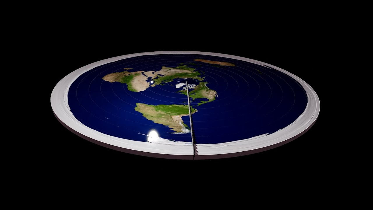
Is Earth Actually Flat? – YouTube
Geodesics and Relativity – YouTube

Geodesics and Relativity – YouTube

Konstantin Sergeevich Novoselov is a Russian-British physicist born on August 23, 1974. Novoselov is best known for his groundbreaking work in the field of condensed matter physics and, in particular, for his co-discovery of graphene. Novoselov awarded the Nobel Prize in Physics. Konstantin Novoselov has continued his research in physics and materials science, contributing to the exploration of graphene’s properties and potential applications.