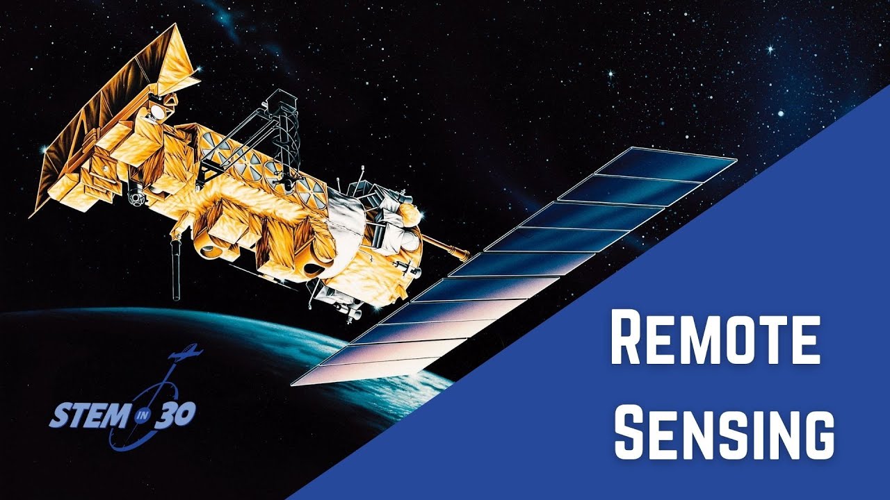
Introduction to Remote Sensing in Physics
Remote sensing in physics refers to the process of acquiring information about an object or phenomenon without making physical contact. It involves the use of various sensors, instruments, and technology from a distance. The primary tool used in remote sensing is the electromagnetic radiation emitted or reflected by the object or the surrounding environment.
Remote sensing in physics uses the principles of physics to analyze and interpret the electromagnetic radiation collected by sensors. This enables scientists to study various aspects of the Earth’s surface, atmosphere, and other celestial bodies.
One common application of remote sensing in physics is in the field of environmental monitoring. Scientists can use remote sensing to study changes in land cover, vegetation health, water quality, and other environmental parameters. By analyzing the electromagnetic radiation reflected from the Earth’s surface, they can monitor and assess the impact of human activities, natural disasters, and climate change.
Another application of remote sensing in physics is in weather forecasting and climate studies. Satellites equipped with remote sensing instruments can provide valuable data on cloud cover, atmospheric temperature, humidity, and other meteorological parameters. This information is essential for predicting weather patterns, understanding climate dynamics, and studying long-term climate trends.
Remote sensing in physics also has applications in the study of celestial bodies beyond Earth. Telescopes equipped with remote sensing technologies can collect and analyze electromagnetic radiation emitted or reflected by distant galaxies, stars, and planets. This allows scientists to study the composition, temperature, and other properties of celestial objects and gain insights into the origins and evolution of the universe.
Overall, remote sensing in physics is a powerful tool that enables scientists to remotely gather valuable information about the Earth, its atmosphere, and celestial bodies. By leveraging the principles of physics and advanced technologies, remote sensing plays a crucial role in advancing our understanding of the world around us.
Principles of Remote Sensing
Principles of Remote Sensing:
1. Electromagnetic Radiation: Remote sensing is based on the principle that objects emit or reflect electromagnetic radiation. This radiation can be detected and measured by sensors to gather information about the objects.
2. Remote Sensing Platforms: Remote sensing can be conducted from various platforms, including satellites, aircraft, and drones. These platforms carry sensors that capture images and data from a distance.
3. Sensors: Remote sensing relies on the use of sensors that can detect different wavelengths of electromagnetic radiation. The most common sensors include optical sensors (detecting visible and infrared wavelengths) and radar sensors (detecting microwaves).
4. Interaction of Radiation with Objects: Remote sensing relies on the interaction of radiation with objects on the Earth’s surface. Objects can absorb, transmit, or reflect radiation based on their properties. By analyzing these interactions, information about the objects can be derived.
5. Spectral Signature: Each object has a unique spectral signature, which represents the way it reflects or emits radiation at different wavelengths. By analyzing the spectral signature, remote sensing can identify and classify objects.
6. Spatial Resolution: Remote sensing images can have different levels of spatial resolution, which refers to the level of detail that can be observed. Higher resolution images provide more detailed information about the objects.
7. Temporal Resolution: Remote sensing enables the capture of images and data at different times. Temporal resolution refers to the frequency at which images and data are acquired over a specific area. Monitoring changes over time can provide valuable information about land cover, vegetation health, and other phenomena.
8. Data Analysis: Remote sensing data requires analysis to extract meaningful information. This analysis involves image processing techniques, such as image enhancement, classification, and change detection.
Remote sensing is the science and technology of acquiring information about the Earth’s surface or atmosphere from a distance, typically through the use of sensors onboard satellites, aircraft, or drones. It is used to gather data about various physical, chemical, and biological characteristics of the Earth’s surface, including land cover, vegetation health, temperature, and pollution levels. Remote sensing is widely used in fields such as geography, environmental science, agriculture, urban planning, and natural resource management.
Remote Sensing Techniques in Physics
Remote sensing is a technique used in various disciplines, including physics, to gather information about objects or phenomena from a distance. It involves the detection and measurement of electromagnetic radiation reflected, emitted, or scattered by the target of interest. In physics, remote sensing techniques are employed to study and understand various physical phenomena, such as atmospheric processes, Earth’s surface features, and celestial bodies.
One commonly used remote sensing technique in physics is lidar (Light Detection and Ranging). Lidar uses lasers to measure the distance to an object or surface by analyzing the time it takes for the laser pulse to return to the sensor. Lidar is used in atmospheric physics to measure properties of the atmosphere, such as aerosol concentrations, cloud heights, and wind patterns. It can also be used to study surface topography and vegetation characteristics.
Another remote sensing technique used in physics is radiometry, which involves measuring the intensity of electromagnetic radiation emitted or reflected by a target. Radiometric measurements can provide valuable information about the temperature and composition of a target. In astrophysics, radiometry is used to study celestial objects and their emissions across various wavelengths.
Spectroscopy is another powerful remote sensing technique widely used in physics. It involves analyzing the interaction of electromagnetic radiation with matter to determine its composition and properties. Spectroscopic data can provide insights into the chemical composition, temperature, and physical conditions of an object or a medium. It is used in atmospheric physics to study atmospheric gases and pollutants, as well as in astrophysics to study the composition of stars and galaxies.
In summary, remote sensing techniques in physics, such as lidar, radiometry, and spectroscopy, play a crucial role in studying and understanding various physical phenomena, both on Earth and in space. These techniques enable scientists to gather data from a distance and provide valuable insights into the properties and behavior of objects and environments of interest.
Applications of Remote Sensing in Physics
Remote sensing is a valuable tool in the field of physics, offering various applications that aid in understanding the physical properties of objects and phenomena. Some examples of the applications of remote sensing in physics include:
1. Atmospheric and Climate Studies: Remote sensing allows scientists to observe and measure different atmospheric parameters such as temperature, humidity, and aerosol content. This helps in studying climate patterns, weather forecasting, and monitoring the effects of climate change.
2. Earthquake and Volcano Monitoring: Remote sensing can detect variations in the Earth’s surface through techniques like interferometry, which measures ground deformation caused by tectonic activity. This aids in monitoring and predicting earthquakes and volcanic eruptions.
3. Oceanography: Remote sensing satellites can collect data on ocean properties such as sea surface temperature, salinity, chlorophyll concentration, and ocean currents. This data helps researchers understand ocean dynamics, track marine life patterns, and study the effects of climate change on marine ecosystems.
4. Space Physics: Remote sensing is useful in studying phenomena occurring in space, such as solar radiation, magnetic fields, cosmic rays, and planetary atmospheres. It helps scientists understand the physics of celestial objects and their interactions, aiding in the development of theories and models.
5. Geophysics: Remote sensing techniques can be used to measure the Earth’s gravitational and magnetic fields. This information helps in mapping underground geological structures, detecting mineral resources, and studying the Earth’s interior composition.
6. Environmental Monitoring: Remote sensing provides a powerful tool for monitoring environmental changes, including deforestation, land use and land cover changes, erosion, and pollution. By capturing and analyzing satellite imagery, scientists can track and assess the impact of human activities on the environment.
7. Solar and Space Weather: Remote sensing allows the observation and measurement of solar activities, such as sunspots, solar flares, and coronal mass ejections. This data is crucial for studying space weather and its impact on Earth, including geomagnetic storms and their effects on power grids and communication systems.
In conclusion, remote sensing plays a crucial role in the field of physics, enabling the study and understanding of various physical phenomena occurring on Earth and in space. By remotely collecting and analyzing data, scientists can gain valuable insights into the physical properties and processes of objects and environments, contributing to advancements in physics research and applications.
Future Prospects of Remote Sensing in Physics
Remote sensing is an essential tool in various fields, including physics. With advancements in technology, remote sensing has the potential to revolutionize the way we study and understand the physical world. Here are some future prospects of remote sensing in physics:
1. Climate Change Studies: Remote sensing can provide valuable data on climate change processes, such as measuring greenhouse gas emissions and monitoring changes in ice caps and glaciers. This data is crucial for physicists studying climate dynamics and developing climate models.
2. Earthquake and Volcanic Activity Monitoring: Remote sensing techniques, including satellite-based radar and thermal imaging, can help in monitoring seismic activity and volcanic eruptions. Physicists can use this data to understand the underlying physics of these natural phenomena and improve prediction models.
3. Atmospheric Physics: Remote sensing plays a significant role in studying the Earth’s atmosphere. Techniques like LIDAR (Light Detection and Ranging) allow physicists to measure atmospheric parameters, such as aerosol distribution, cloud properties, and greenhouse gas concentrations. This data aids in understanding atmospheric physics processes and climate-related studies.
4. Space Physics and Astrophysics: Remote sensing techniques are widely used in space physics and astrophysics to study distant celestial objects and phenomena. Observatories equipped with powerful sensors, such as telescopes and spectrometers, gather data from distant galaxies, stars, and other cosmic bodies. These observations contribute to our understanding of the fundamental laws of physics and the evolution of the universe.
5. Quantum Information and Quantum Sensing: Remote sensing can be utilized to study and exploit quantum phenomena, such as entanglement and superposition. Quantum sensors can utilize remote sensing techniques for precise measurements, enabling physicists to study and manipulate quantum states. This has potential applications in quantum computing, communication, and metrology.
6. High-Energy Physics: Remote sensing can assist in detecting high-energy particles and radiation, contributing to experimental particle physics research. For instance, detectors in space or on aircraft can map cosmic rays and gamma-ray emissions, aiding scientists in understanding particle interactions and cosmic origins.
7. Materials Physics: Remote sensing techniques can be used for non-destructive characterization and imaging of materials. By analyzing the interaction between materials and electromagnetic waves, physicists can gain insight into the structural and electronic properties of materials. This information is valuable in fields like solid-state physics, semiconductor research, and nanotechnology.
As technology continues to advance, remote sensing capabilities in physics will expand further. These prospects highlight the immense potential for remote sensing to contribute to our understanding of the physical world and push the boundaries of scientific knowledge.
Topics related to Remote sensing
Lecture 1 : Rudiments of Remote Sensing and Advantages – YouTube

Lecture 1 : Rudiments of Remote Sensing and Advantages – YouTube
What is Remote Sensing? Understanding Remote Sensing – YouTube

What is Remote Sensing? Understanding Remote Sensing – YouTube
Atiqur Rahman EMR Basic physics of remote sensing – YouTube

Atiqur Rahman EMR Basic physics of remote sensing – YouTube
What is Active and Passive Remote Sensing? – YouTube

What is Active and Passive Remote Sensing? – YouTube
13 June 2020_Basic Principles of Remote Sensing by Dr. Manu Mehta – YouTube

13 June 2020_Basic Principles of Remote Sensing by Dr. Manu Mehta – YouTube
Lecture 1 Basic Concepts of Remote Sensing – YouTube

Lecture 1 Basic Concepts of Remote Sensing – YouTube
emr in remote sensing | remote sensing and gis | lecture 5 – YouTube

emr in remote sensing | remote sensing and gis | lecture 5 – YouTube
Applications of Remote Sensing in Precision Farming – YouTube

Applications of Remote Sensing in Precision Farming – YouTube
What is Remote Sensing? – YouTube
What is Remote Sensing? – YouTube
Find Out How You Can Make Your Food Dance! – YouTube

Find Out How You Can Make Your Food Dance! – YouTube
Konstantin Sergeevich Novoselov is a Russian-British physicist born on August 23, 1974. Novoselov is best known for his groundbreaking work in the field of condensed matter physics and, in particular, for his co-discovery of graphene. Novoselov awarded the Nobel Prize in Physics. Konstantin Novoselov has continued his research in physics and materials science, contributing to the exploration of graphene’s properties and potential applications.